location history.json
Prints and lasercuts created from my phone's location history.
More art: memory cloud, cinemagraphs, consortium

We are in the golden age of surveillance, and data collection is rampant.
For the first half of my senior exercise in Studio Art, I began thinking about data, specifically personal data.
Google has a tool called Takeout, which lets you download copies of all your account’s data. It’s stunning how many different things they collect. One of the datasets that surprised me most: my location history. My phone takes a GPS reading about once per minute, and sends it off to Google’s servers.
location_history.json
𝘋𝘢𝘵𝘢𝘱𝘰𝘪𝘯𝘵𝘴: 610,323
𝘠𝘦𝘢𝘳𝘴: 2013-2019
𝘚𝘪𝘻𝘦: 293.7MB
𝘙𝘦𝘵𝘳𝘪𝘦𝘷𝘦𝘥: 11-05-2019
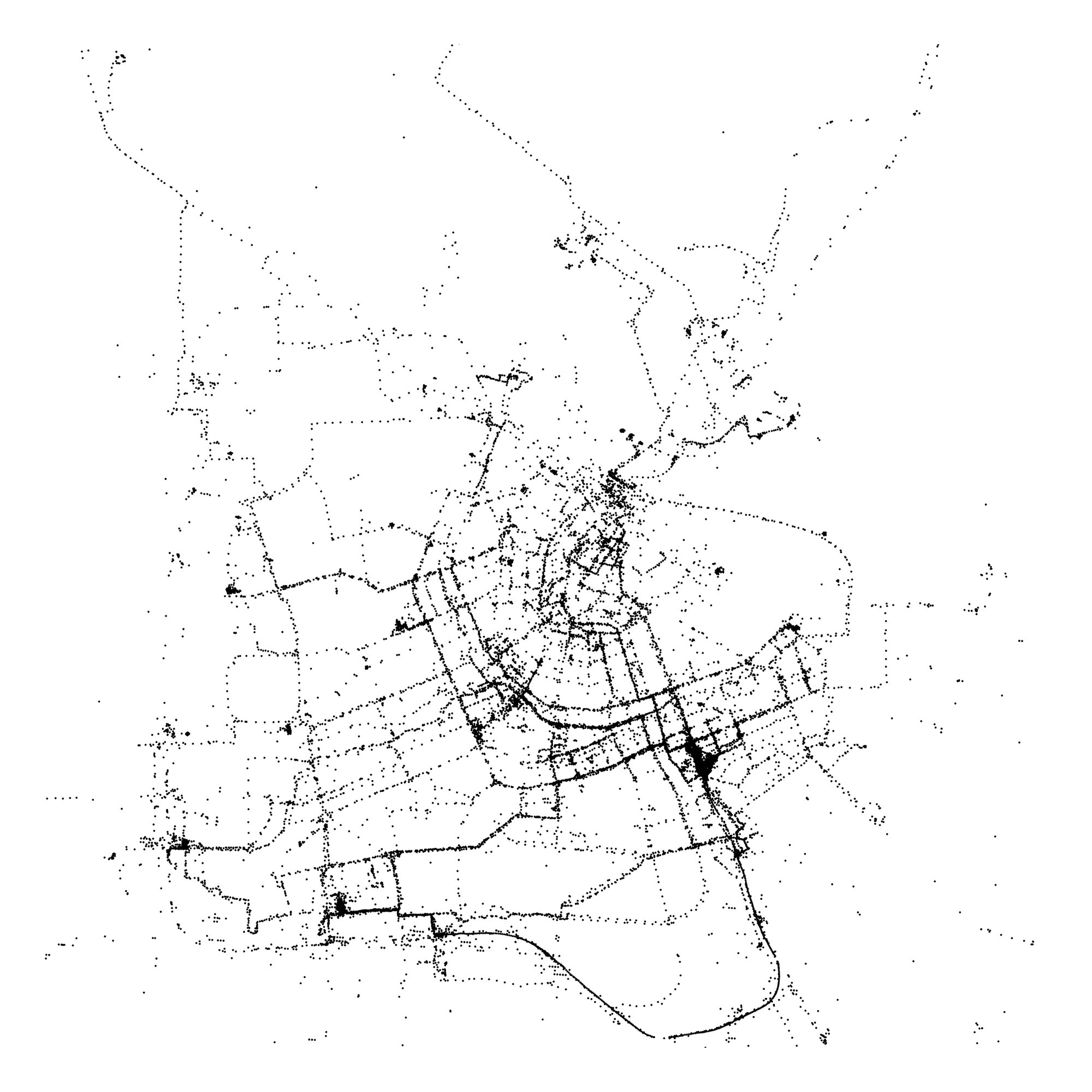
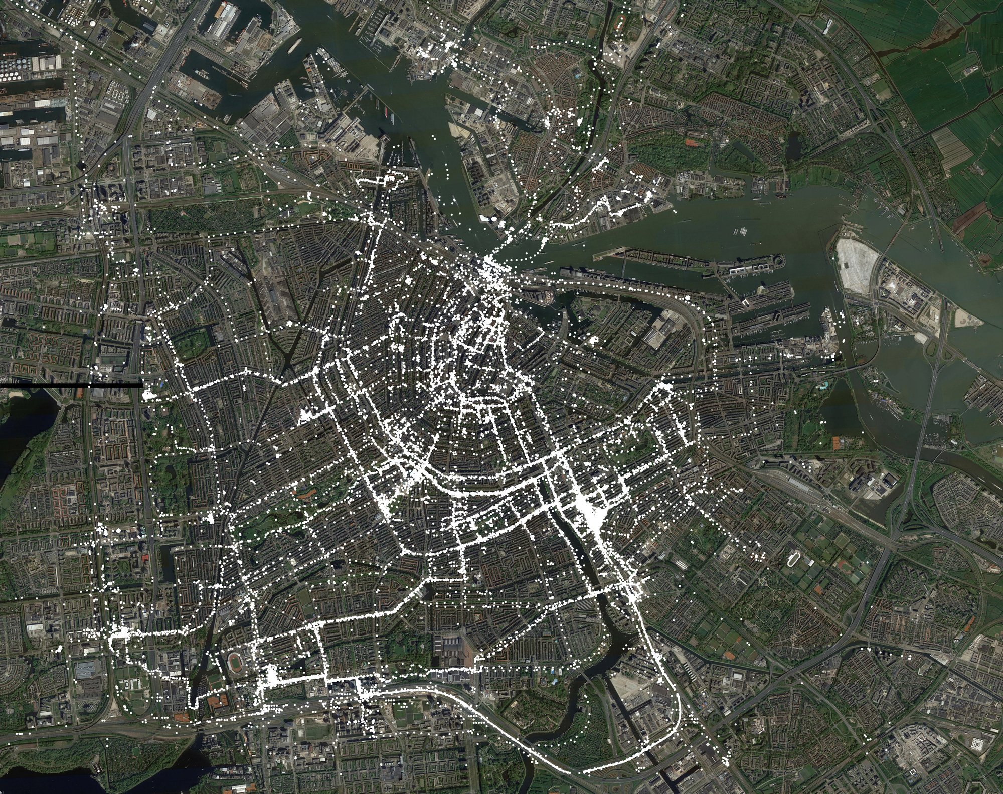
Though I felt uneasy knowing this data was out there, I was compelled to examine it. Using some Python scripts, I generated high-resolution SVG scatterplots of the data.
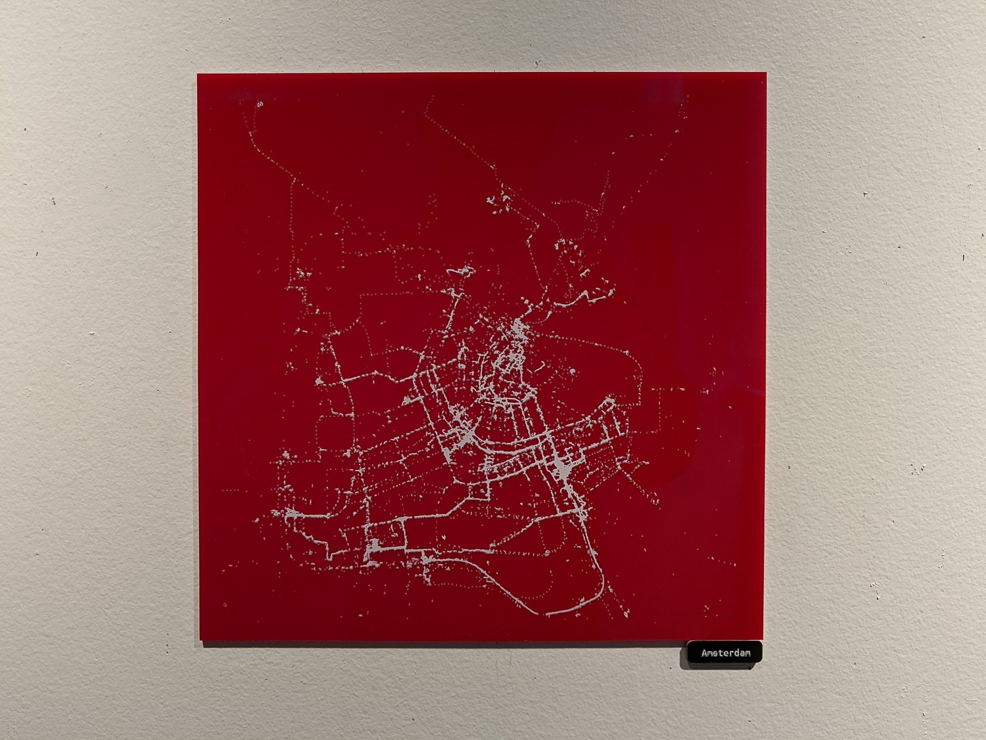
I lasercut the scatterplots onto sheets of acrylic, masked, and spraypainted them.
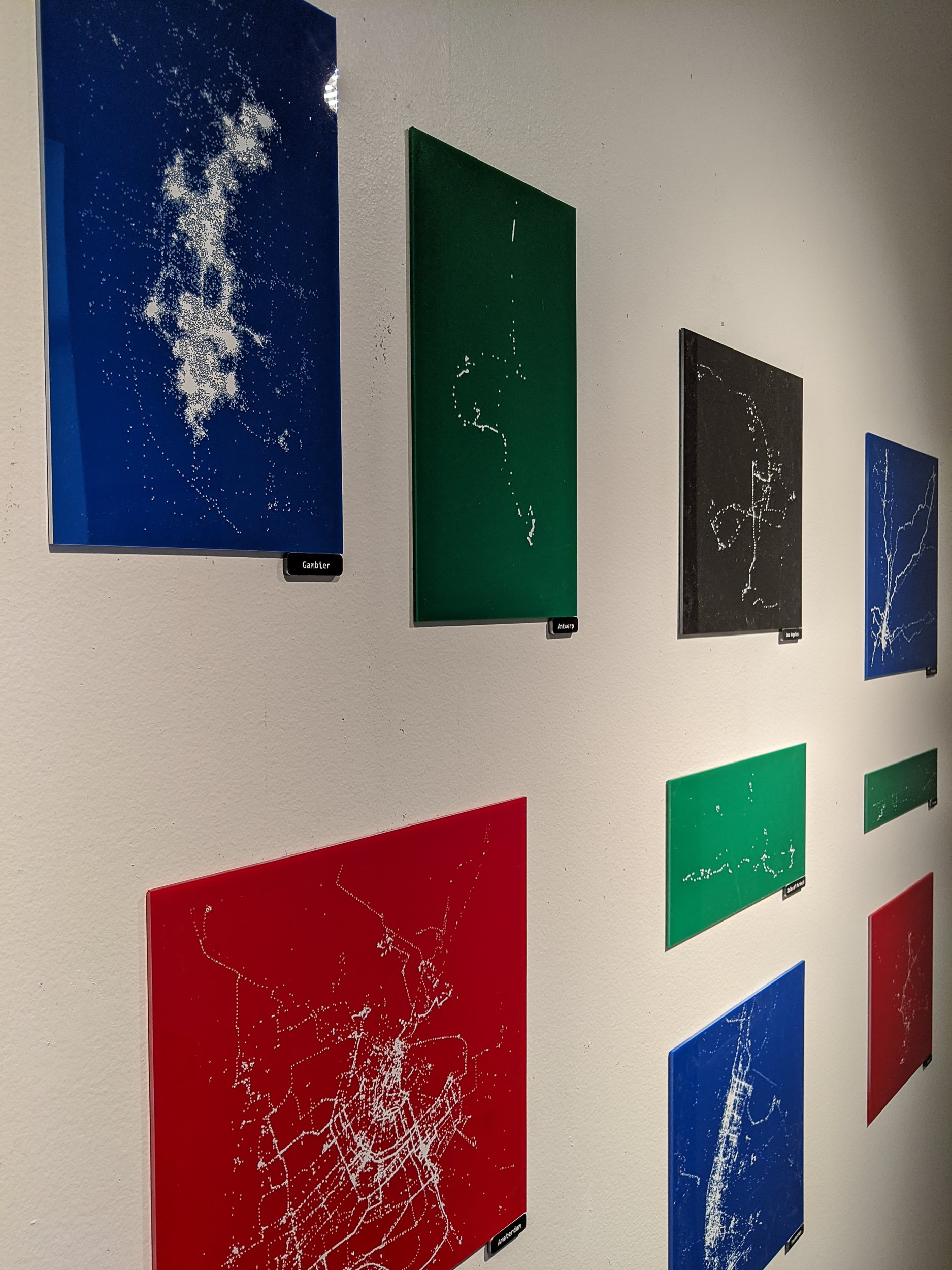
Despite the Orwellian baggage that comes with this stuff, looking at the maps was an emotionally nostalgic experience for me, like looking at a map of memories.
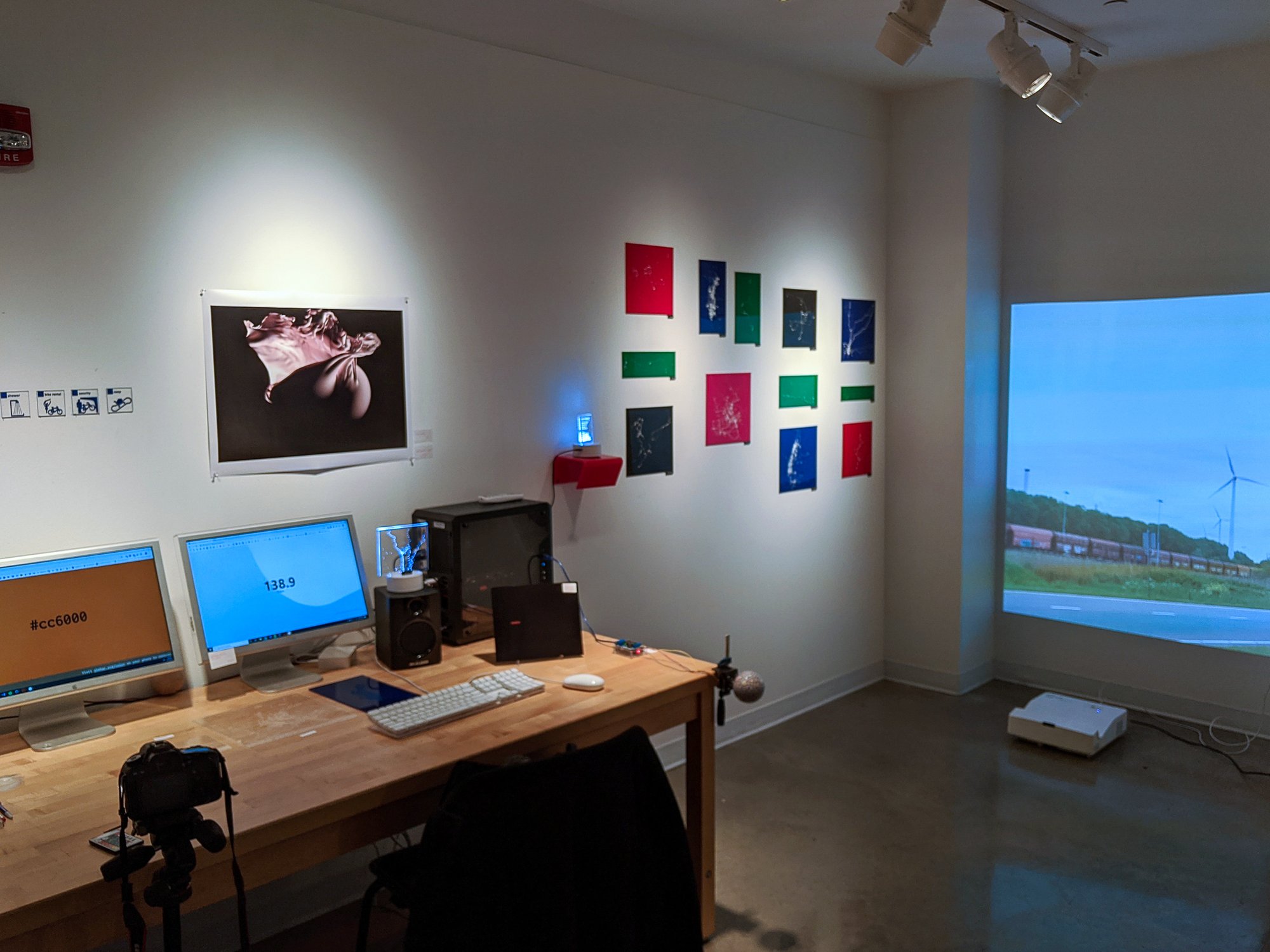
Tools: acrylic, spraypaint, python, my Google location history, inkjet prints